


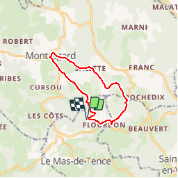

17.7 km | 23 km-effort

User


FREE GPS app for hiking
 SityTrail
IGN / Geographical institutes
SityTrail World
The world is yours!
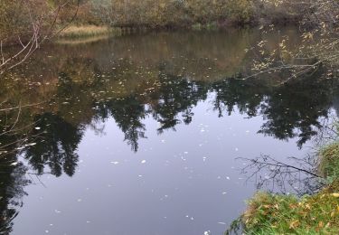
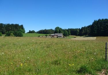
Trail Walking of 10.4 km to be discovered at Auvergne-Rhône-Alpes, Haute-Loire, Le Mas-de-Tence. This trail is proposed by tracegps.
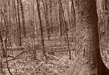
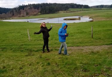
Petite sortie aérée aux environs de Montregard. Balade facile en évitant les sous-bois trop froids surtout en hiver.


Mountain bike

Walking
Walking
Walking
Walking

Snowshoes
Mountain bike

Mountain bike
Walking